• Home
  • Hiking Trails
    • Kananaskis Country Hiking Trails
      • Hwy-40/West Sibbald Creek
      • Hwy 40 - The Highwood River Valley
      • Hwy 742/Smith-Dorean Valley
    • Elk Island Hiking Trails
    • David Thompson Country
      • Nordegg Area
      • Bighorn Country
      • Cline River Area
      • Kootenay Plains
      • Upper N Sask River Valley
    • Jasper National Park
    • Banff National Park
      • Bow Valley Parkway
      • Banff to Lake Louise
    • Hwy-93/Icefields Parkway
  • Blog
  • Wildlife
    • Animals
      • Grizzly Bears
      • Bighorn Sheep
      • Bison
      • Cougars
      • Wolves
      • Elk
      • Moose
      • White Tailed Deer
    • Bear & Cougar Awareness
  • Backcountry Skills
    • Topographic Maps
      • Compass Bearings
      • Map Orientation
      • Magnetic Declination
      • Tips and Hints
    • Backcountry Survival Tips
      • Shelter Construction
      • Fire Setup
      • Water Purification
    • Dehydrated Food Ideas
  • Accommodation and More
    • Hotels
    • Places to Eat
    • Things to Do
      • Dog Parks
    • Useful Links
    • Weather
Toggle navigation

HIKING TRAILS

Kananaskis Country
  • Hwy 40 (Kananaskis Trail)
  • West End Sibbald Creek Trail
  • Hwy 742 (Smith-Dorian Valley)
David Thompson Highway
(Hwy 11)
Banff National Park

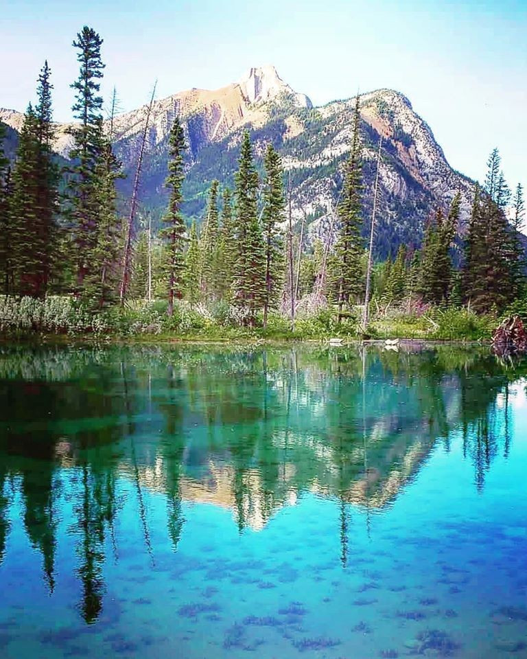
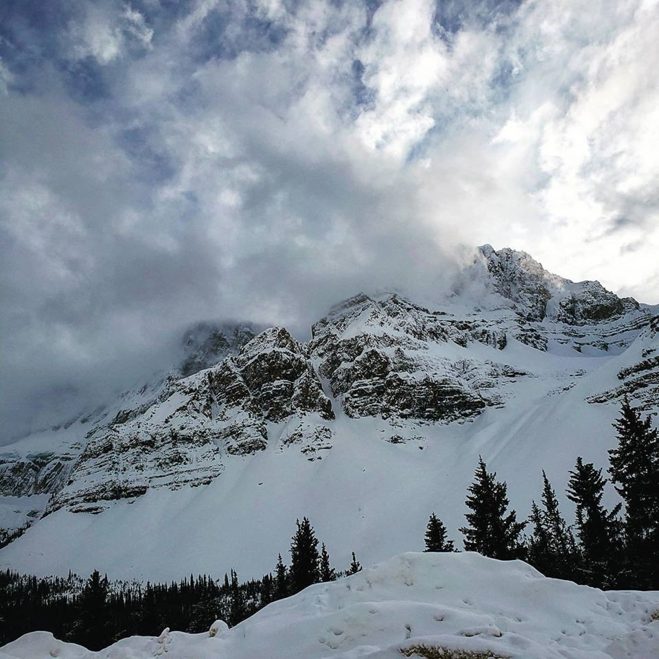
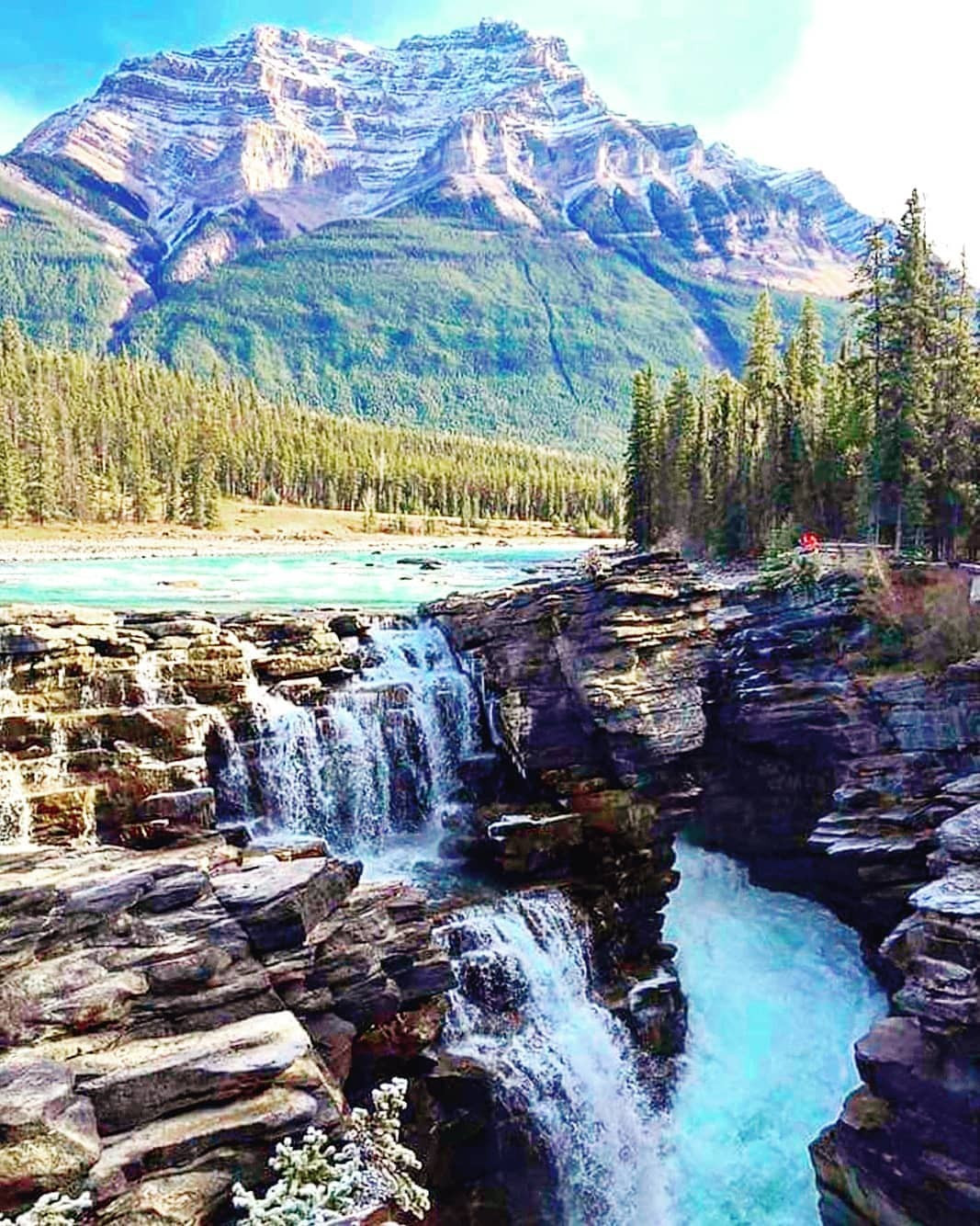
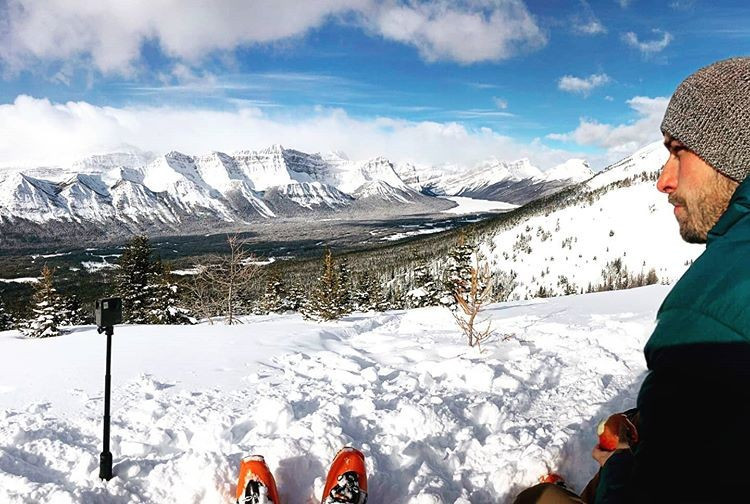
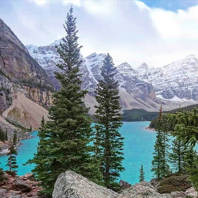
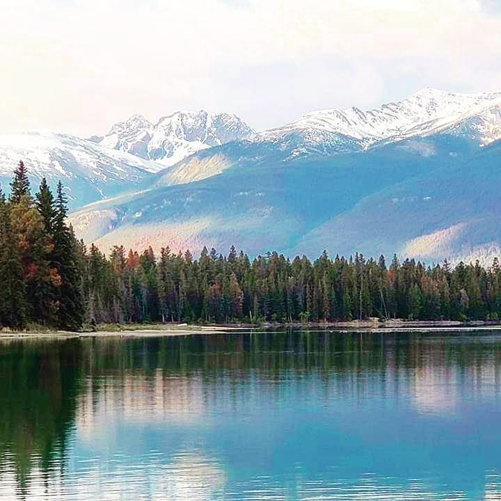
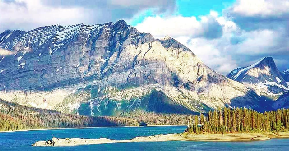
Below are roads which leads to hundred of trails all across Alberta. Pick the road you will be traveling on to discover all the hiking trails associated to that road. check it out!

  • Bow Valley Parkway
  • Banff to Lake Louise Area
  • Nordegg Area
  • Big Horn Country
  • Cline River Area
  • Kootenay Plains
  • Upper North Saskatchewan Valley
  • Elk Island Hiking Trails
Elk Island National Park
Jasper National Park
  • Jasper Hiking Trails
Highway 93 - Icefields Parkway
  • Hwy 93 - Icefields Parkway

Copyright © 2022 Backcountry Views

Web Design by Noel's Consulting Services

WOULD YOU LIKE TO HAVE YOUR BUSINESS FEATURED?
Email Us!
We would be happy to feature you!