
To get to this trail park your vehicle on the pullover on the southside of Highway 11 69km south of the Nordegg turnoff. A relatively easy hike along the North Saskatchewan River.
Distance: 3.77 km (one-way)
Elevation: 16m
Turn right (north) off of Highway 11 approximately 71km from the Nordegg turnoff. You can see the sign from the road. At under 2.5 km this trail offers some information on a previous prescribed fire burn in the area, while this is made of 2 loops, stick to the right and return the same way as the left side is really grown over and features multiple knocked over trees. This interpretive trail shows some relevant data on the regrowth of trees after a fire. This hike can be continued until it reaches Landslide Lake and beyond. Look here and you may see signs of bear activity in the trees as you endure this hike.
Distance: 2.35km
Elevation Gain: 94m
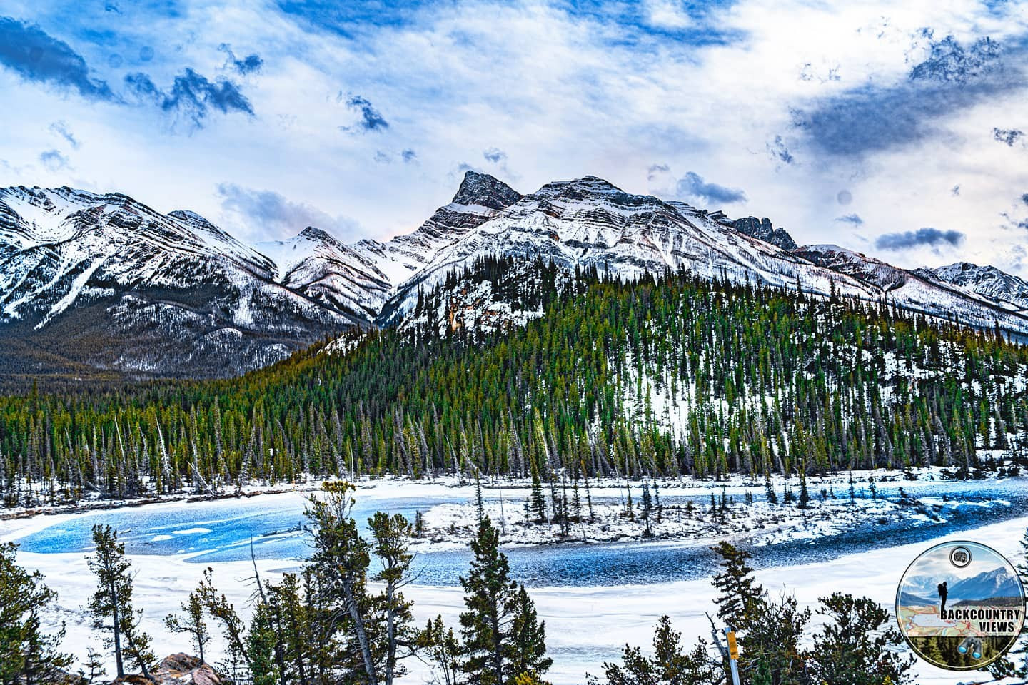
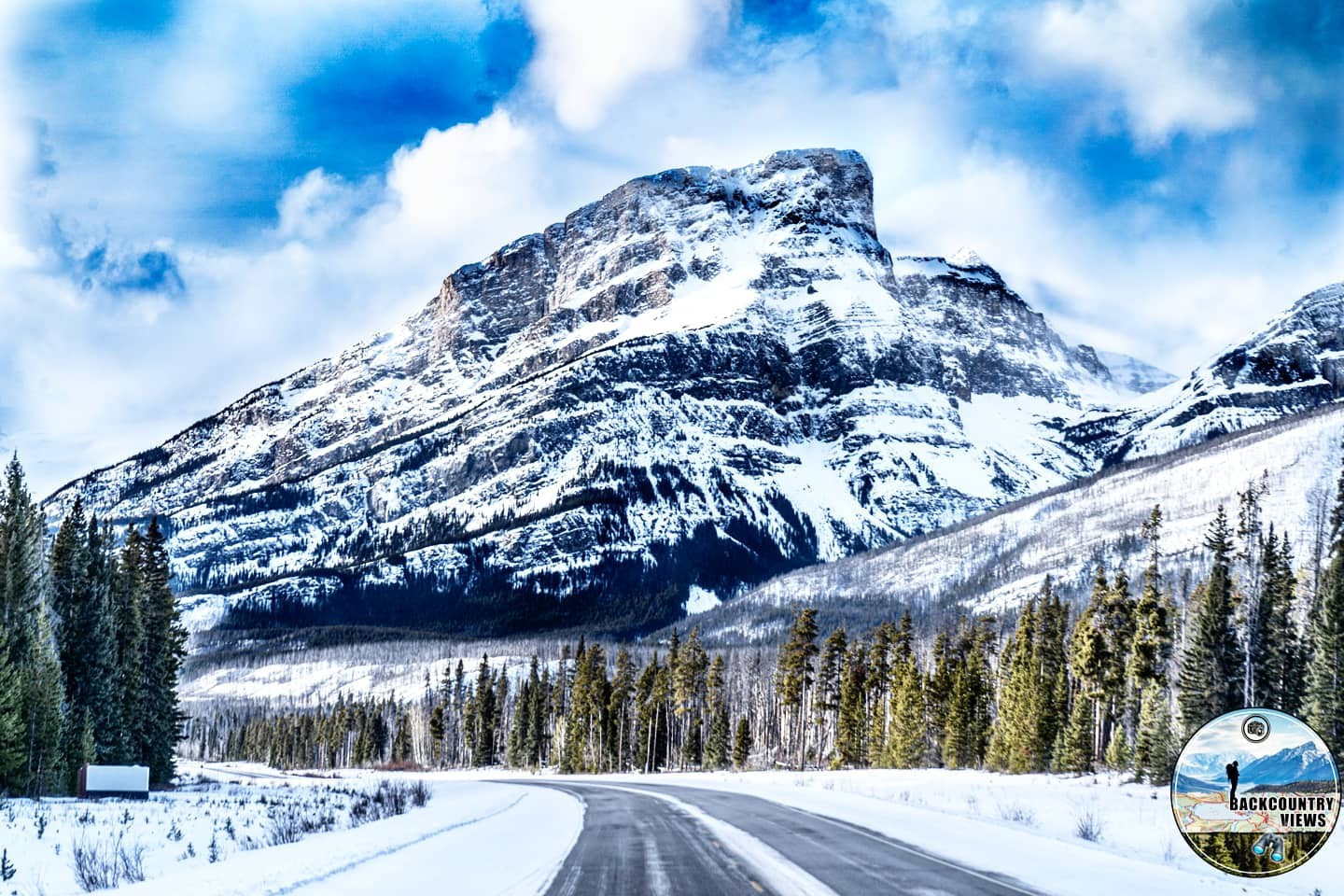
This trail is in the Banff National Park Boundary off Highway 11 roughly83 km south of the Nordegg turnoff. Drive down a rough road on the northside of Highway 11 and park beside Owen Creek. This easy 2km hike follows a beautiful Gorge as it leads to a waterfall, with only 64m of elation gain, I highly recommend checking this trail out, if you haven’t done so already.
Distance: 1.56km return
Elevation Gain: 64m
Park your vehicle at the Norman Creek Staging Area on Highway 93, 17km north of the junction with The David Thompson Highway. The Sunset Pass Trail is approximately 23 km return and after passing the Norman Creek Viewpoint heads towards Pinto Lake (see Pinto Lake trail in the Cline River Area for more info). With 721m of elevation this is recommended by me as a 2-day hike. For more information on this hike see the David Thompson Highway Hiking Guide.
Distance: 11.54km (one-way)
Elevation Gain: 721m
To get to this hike follow Highway 11 for 80 west of the Nordegg turnoff and park at the Thompson Creek Campground in the day use area. With an elevation gain of 502m, you are rewarded as this leads to a 35m waterfall coming of the side of a hanging valley. The trail to Mount Cline also branches west prior to the falls.
Distance: 8.62km (return)
Elevation Gain: 502m
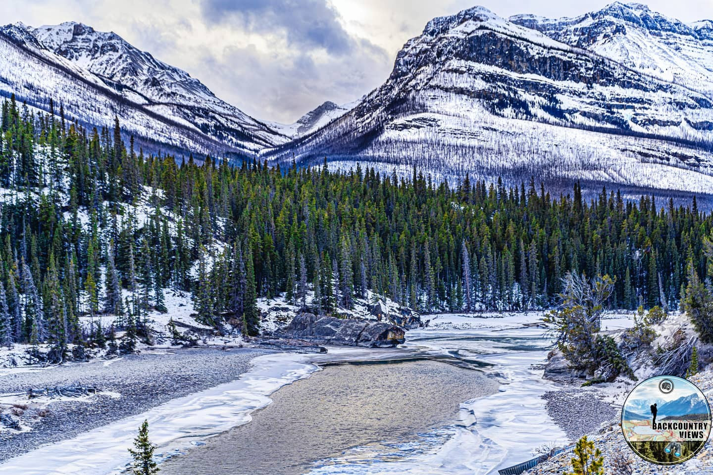
To get to this trail park your vehicle on the pull-off on the southside of Highway 11 roughly 68km south of the Nordegg turnoff. This hike with 235m of elevation come highly recommended, the views of the Upper North Saskatchewan River Valley.
Distance: 3.01km (return)
Elevation Gain: 235m
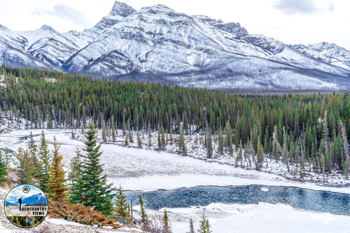
To get to this trail park your vehicle on the pull-of on the southside of Highway 11 roughly 68km south of the Nordegg turnoff. From the boundary with Banff National Park marked by the glaciers and snowcap to the west to unparoled views of the North Saskatchewan River Valley with the Corona Ridge, and Mount Peskett to the south. Starting from the North East corner of Whirlpool Point Loop, the 1227m of elevation gained 6.25km is definitely worth the hike if you have proper gear (footwear, first aid kit, hiking poles etc.). Even thought the first part of this hike is forested, keep in mind that the rest of this trail is in the open. Sunscreen is needed if doing this hike in July or August as roughly 8km in total is exposed, 4 on the way up, 4 on the way down and no where to get a refill of water.
Distance: 6.35km (one-way)
Elevation Gain: 1227m
| Trail | Distance | Elevation Gain | Terrain |
| Alexander Henry's Trail | 3.77km (one-way) | 16m | Easy forested hike along river |
| Landslide Lake Interpretive Fire Trail | 2.35km (return) | 94m | Easy hike through a mix of grassland and forest |
| Owen Creek Trail | 1.56km (return) | 64m | Short, easy hike along a stream in the woods to a waterfall |
| Sunset Pass Trail | 11.54km (one-way) | 721m | Steady uphill hike until you descend down Pinto Lake |
| Thompson Creek Falls Trail | 8.62km (return) | 502m | Steady hike, then an upward push to the waterfall |
| Whirlpool Point Loop | 3.01km (return) | 235m | Steady hike with a short climb |
| Whirlpool Ridge Route | 6.35km (one-way) | 1227m | Easy hike following river |
The maps, GPS data and elevations on profiles are provided for reference purposes only and to help you plan you next outdoor adventure. Maps can be used for navigation and you can open them up in Caltopo for a better viewing experience. Backcountry Views makes no guarantees, representations or warranties respecting this data, either expressed or implied. Backcountry Views assumes no responsibility for damages or other liabilities due to the accuracy, availability, use or misuse of the information provided. I use the information provided within this website to help plan my hikes from elevations to different types of terrain. This info is free to use, as I want to help everyone have a safe enjoyable time while hiking, thank you very much. I hope you find this info to be a benefit to you. For updates follow me at backcountryviewsofficial on Instagram.


