
To access this hike, turnoff of Highway 11 roughly 18km south of the Nordegg turnoff at the Crescent Falls Road. Follow this road for under 5km and park before the hill. This road can be extremely dusty and very busy, watch out for atv’s along this road as well as pedestrians. Slow down out of respect if you see another vehicle approaching you as to not kick up rocks at them.
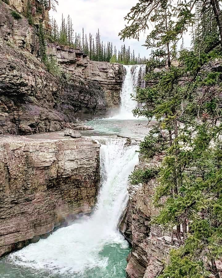
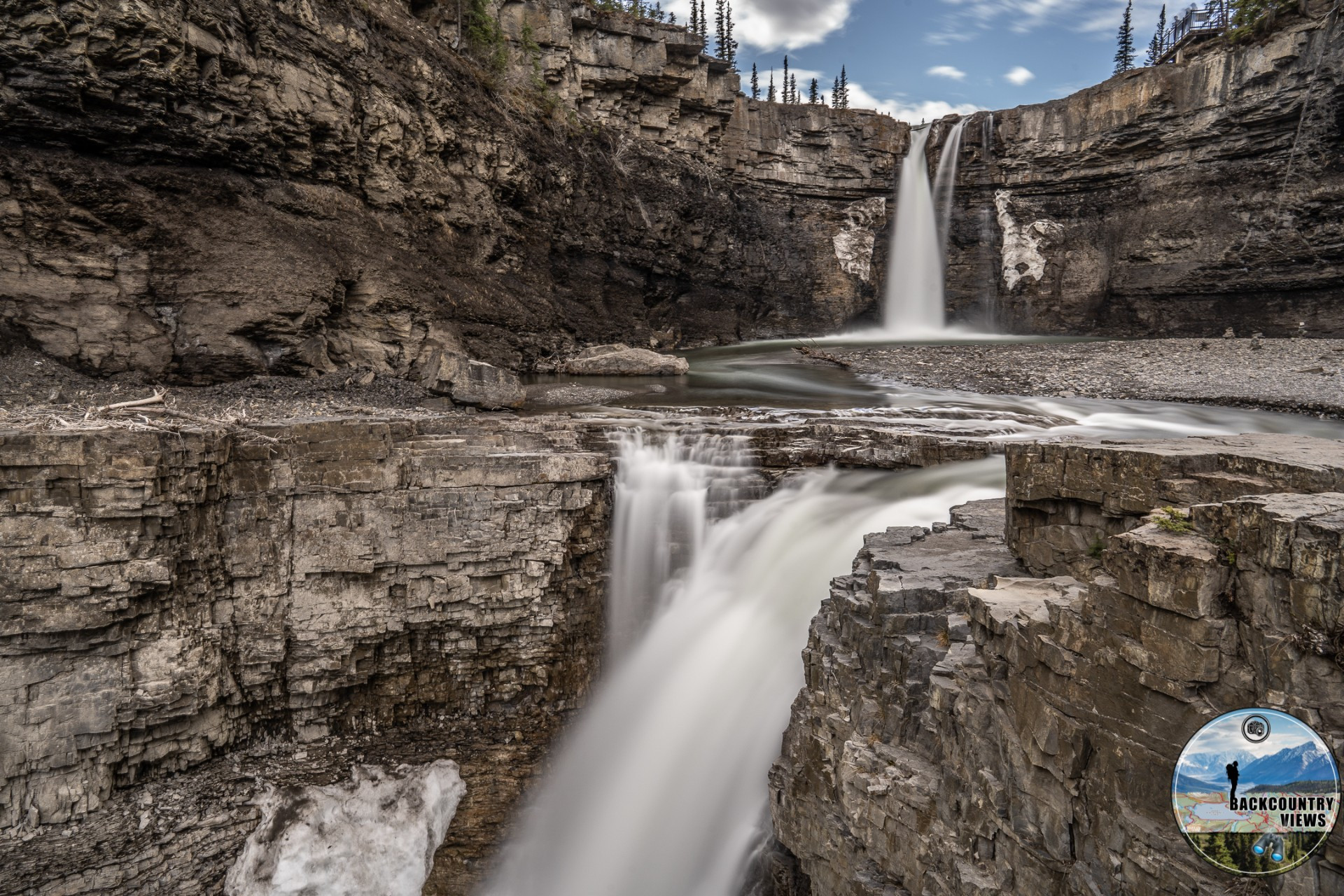
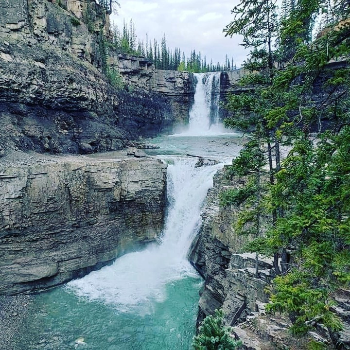
I highly recommend doing this hike when visiting Crescent Falls as it offers a forested walk with camera worthy views of both Bighorn Canyon and the Bighorn river for which the canyon is named. This relatively easy hike leads to one of the most popular areas in David Thompson Country, Crescent falls is a sight the whole family can enjoy. Bring your camera as many great opportunities for a family photo or for selfies.
To access this hike, turnoff of Highway 11 roughly 18km south of the Nordegg turnoff at the Crescent Falls Road, follow this past the parking lot for the falls and down the hill and through a shallow ford (not deep usually – need 4x4), continue past the campground for just under a km and you will find a parking area there.. This road can be extremely dusty and very busy, watch out for atv’s along this road as well as pedestrians. Slow down out of respect if you see another vehicle approaching you as to not kick up rocks at them.
With just over 100m in elevation gain, the Upper Bighorn Falls Trail is a great add on to Bighorn Canyon Trail and makes for a full summer days hike. Upper Bighorns falls are the most picturesque waterfalls on the Bighorn River above Crescent Falls, and a lot less busy usually, you also pass 2 other waterfalls as you make you way to your destination.
Distance: 2.43km (one-way)
Elevation: 68m
Distance: 2.59km
Elevation Gain: 127m
To access this hike, turnoff of Highway 11 roughly 18km south of the Nordegg turnoff at the Crescent Falls Road, follow this past the parking lot for the falls and down the hill and through a shallow ford (not deep usually – need 4x4), continue past the campground for just under a km and you will find a parking area there.. This road can be extremely dusty and very busy, watch out for atv’s along this road as well as pedestrians. Slow down out of respect if you see another vehicle approaching you as to not kick up rocks at them.
A 20 plus km multi day hikes with an elevation gain of 281m through thick forests and an amazing view of some waterfalls as you return to the trailhead. If planning on doing this hike I suggest grabbing a copy of the David Thompson Highway Hiking Guide as it goes into further detail about this trip.
Distance: 20.43km
Elevation Gain: 281m
Distance: 1.47km
Elevation Gain: 40m
Park on the westside Highway 11 roughly 26km south of the turnoff for Nordegg near the south bank of Tershishner Creek. There is a gravel road that runs along the creek.
This relatively easy hike to a waterfall features only 65m elevation as it winds its way toward the falls. With a few stream crossings on your way to a 4m high waterfall, this is a great hike to do on a sunny day in the summer.
Distance: 3.31km
Elevation Gain: 65m
The parking area for this hike is located on the east side of Highway 11 just over 30km south of the turnoff for Nordegg. There is a sign for the Allstones Lake trailhead on the westside of Highway 11.
This hike starts almost directly across from Abraham Coves Random Camping area and has minor elevation (76m) making this a relatively easy hike. This hike does have multiple stream crossings as it heads towards a waterfall, so keep that in mind if hiking this trail.
Distance: 1.11km
Elevation Gain: 76m
The parking area for this hike is located on the east side of Highway 11 just over 30km south of the turnoff for Nordegg. There is a sign for the Allstones Lake trailhead on the westside of Highway 11.
With an elevation gain of 603m as this trail heads toward the lake with amazing views all the way to the top, plan on staying at the lake for a bit as the scenery here is amazing. A trail leads around the lake as well which offers some impressive views.
Distance: 3.8km
Elevation Gain: 603m
View Allstones Lake Trail to find parking as this trail is accessed from the end of the Allstones Lake Trail. This trail starts from the Allstones Lake trail and heads towards the ridge, with 160m elevation gain this provides an excellent side trip for the adventurers among you.
Distance: 573m
Elevation Gain: 160m
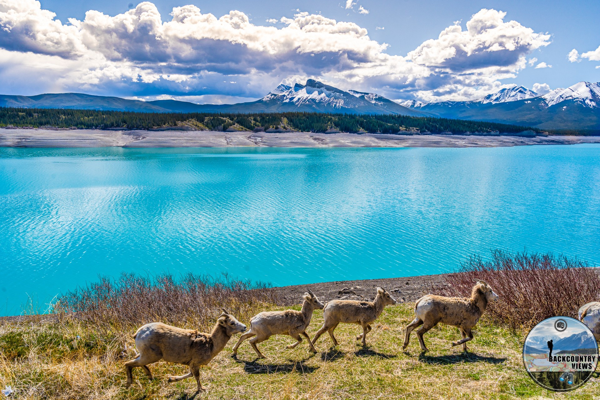
This trailhead is located north of Highway 11 roughly 23km south of the Nordegg turnoff, north of the Highway 11 rock cut. Be careful as this is a steep turn as well as a popular area for police to sit. Bighorn Sheep are often found around this area as well.
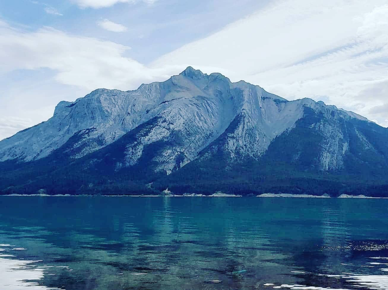
This short scramble offers amazing views of Mount Michener and the North Saskatchewan River Valley as well as Abraham Lake. Don’t be fooled this half day scramble does include a 688m ascent to the top, but the rewards are worth it.
Distance: 1.78km
Elevation Gain: 688m
Park on the southside of Highway 11 opposite the trail on a little dirt road that leads down to the lake roughly 38 km south of the Nordegg turnoff. This relatively easy hike features 350m of elevation gain as you head towards the hoodoos, and a cave beyond them if your willing to scramble up to it. Some route-finding is needed when hiking up the creek bed as you progress through a narrowing ravine. Carry bear spray with you on this hike as it is in bear and big cat (cougar) country.
Distance: 1.91km
Elevation Gain: 350m
To access this hike, turnoff of Highway 11 roughly 18km south of the Nordegg turnoff at the Crescent Falls Road, follow this past the parking lot for the falls and down the hill and through a shallow ford (not deep usually – need 4x4), continue past the campground for just under a km and you will find a parking area there.. This road can be extremely dusty and very busy, watch out for atv’s along this road as well as pedestrians. Slow down out of respect if you see another vehicle approaching you as to not kick up rocks at them.
This hike has an elevation gain of 541m and shares over 5m with the Bighorn Meadows Trail. This trail closely follows the Bighorn River prior to the final ascent. I found this hike to be really refreshing in late spring to early summer. Bring extra socks on this one depending on water level.
Distance: 10.35km
Elevation Gain: 541m
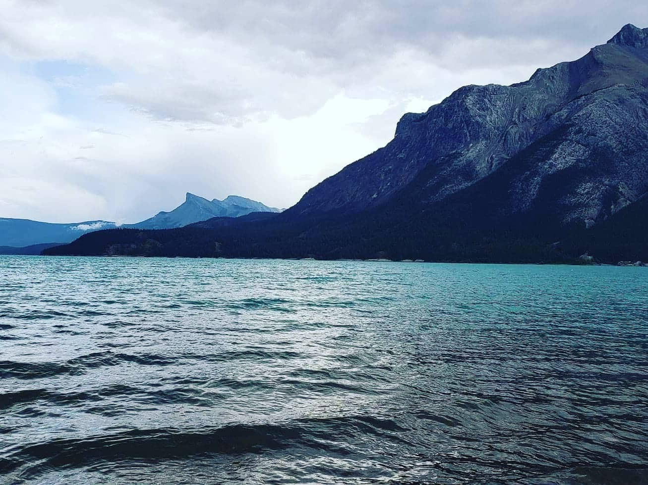
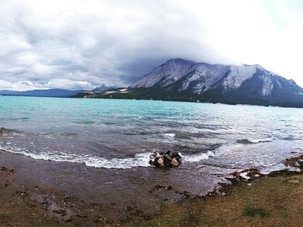
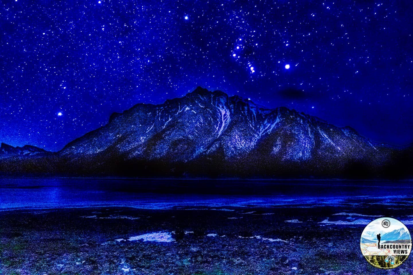
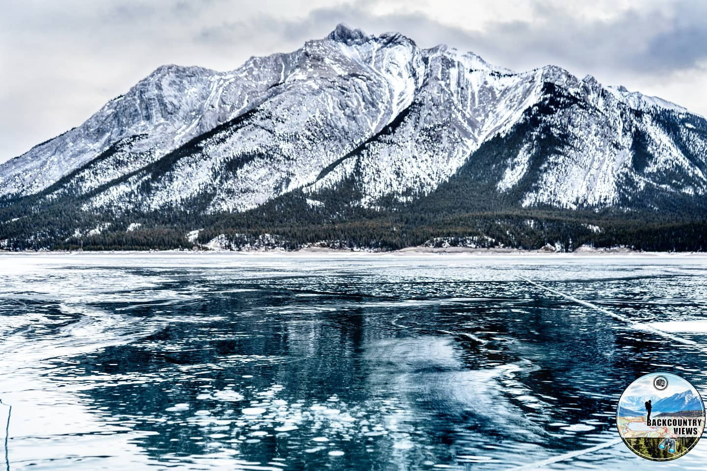
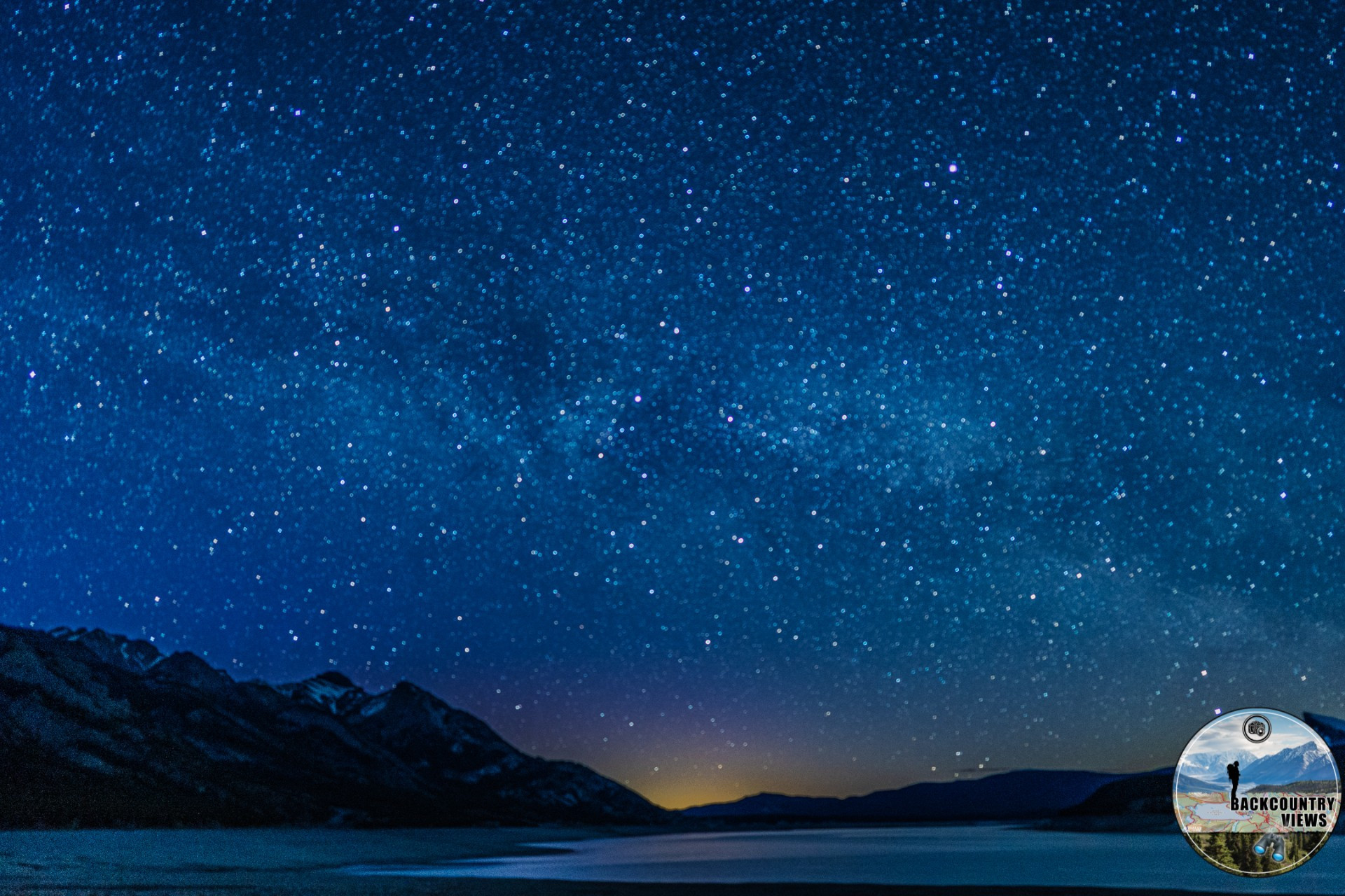
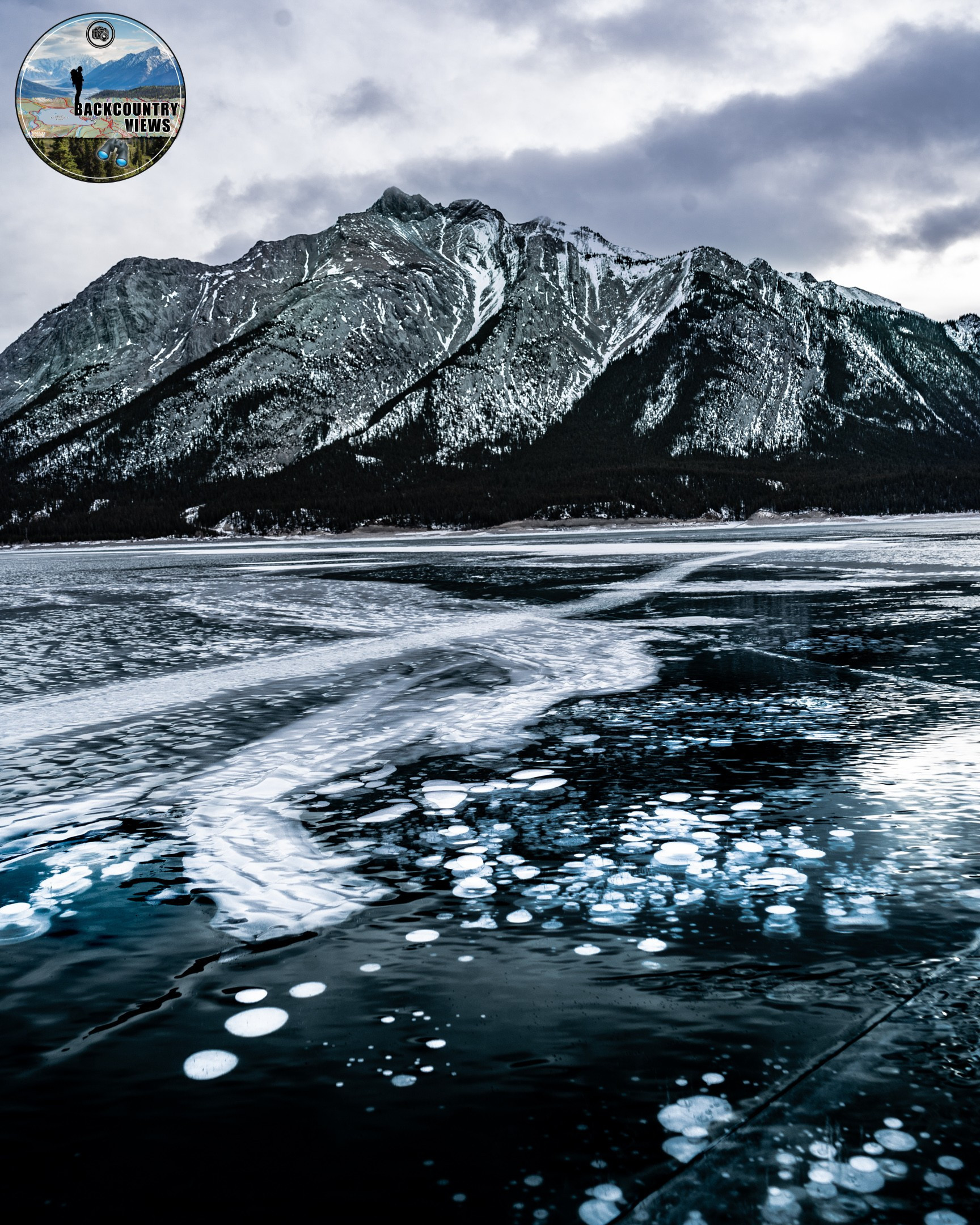
This hike gradually gains elevation as you head towards the top with 1126m elevation gain in total. Accessed from the opposite side of the lake, very few due tend to hike this trail, and if you are thinking of canoeing or kayaking to it remember Abraham Lake is very windy and can cause huge waves out of nowhere. Remember to plan this trip out accordingly if you are considering it. This mountain is also the backdrop for a lot of the frozen methane gas bubbles you see posted on Instagram and Facebook.
Distance: 2.98km
Elevation Gain: 1126m
| Trail | Distance | Elevation Gain | Terrain |
| Bighorn Canyon Trail | 2.43km (one-way) | 67m | Easy hike with short, steep scramble |
| Upper Bighorn Falls | 2.59km | 127m | Easy hike with 2 river crossings |
| Bighorn Meadows Trail | 20.43km | 281m | Continuous hike which crosses 2 wide streams |
| Abraham Lake Trail | 1.47km | 40m | Easy stroll |
| Tershishner Falls Trail | 3.31km | 65m | Short hike with rout finding |
| Allstones Creek Trail | 1.11km | 76m | Many stream crossings followed by steep scramble |
| Allstones Lake Trail | 3.8km | 603m | Easy hike with steady elevation |
| Allstones Ridge Trail | 573m | 160m | Side trail off of Allstones Lake Trail, 160m gain in .62km |
| Windy Point Ridge Lookout | 1.87km | 688m | Steep climb with some scambling |
| Hoodoo Creek | 1.91km | 350m | Rock scramble up stream bed |
| Abandoned Fire Lookout | 10.35km | 541m | Steady hike with a steep increase in elevation |
| Mount Michener Route | 2.98km | 1126m | Steady leg burner up to the top |
Accessed roughly 24 km south of the Nordegg turnoff, you need to turn south onto the Bighorn Dam road. As you start on this road a sign saying “Welcome to our Backyard” can be seen on the right-hand side. Just under 4km down this road you will see a dirt road on your right, take it and drive down to the parking area.
The maps, GPS data and elevations on profiles are provided for reference purposes only and to help you plan you next outdoor adventure. Maps can be used for navigation and you can open them up in Caltopo for a better viewing experience. Backcountry Views makes no guarantees, representations or warranties respecting this data, either expressed or implied. Backcountry Views assumes no responsibility for damages or other liabilities due to the accuracy, availability, use or misuse of the information provided. I use the information provided within this website to help plan my hikes from elevations to different types of terrain. This info is free to use, as I want to help everyone have a safe enjoyable time while hiking, thank you very much. I hope you find this info to be a benefit to you. For updates follow me at backcountryviewsofficial on Instagram.


