
Accessed by the Mount Shark Road off Hwy 742, take the road on your left roughly 1km from where you turned in. A relatively easy hike to Commonwealth Creek followed by an easy hike southwest along the creek followed by a leg burner as you make your way towards Smuts Pass up a headwall. You will be able to view Lower Birdwood Lake from this vantage point. Commonwealth Traverse feat Commonwealth Lake and Pigs Back Route are also available from this trail, see map. Profiles are included below.
Distance: 15.59 km (return)
Elevation: 516m
Distance: 13.03km (return)
Elevation Gain: 1068m
Accessed roughly 42km from the Canmore Nordic Centre on Highway 742. Turn right and park at the Burstall Pass Parking lot near Mud lake, this road is on the opposite side of Chester Lake turn off but very close to it. From the parking lot follow the old logging road west past the 3 Burstall Lakes and the Snow Avalanche Impact Pool. This part of the trail is wide with a gentle increase in elevation. After the lakes it returns to a normal hiking trail that we are all accustomed to. Just south of Pigs Tail (2822m) the trail starts to ascent as it makes its way towards a majestic alpine meadow (the calm before the storm lol). After the meadow is the actual climb to the pass. Once you reach the pass you are greeted by some of the nicest views within Kananaskis as views of Banff National Park, British Columbia and Whistling Rock Peak (2940m) great you as you look around.
Distance: 16.47km (return)
Elevation Gain: 458m
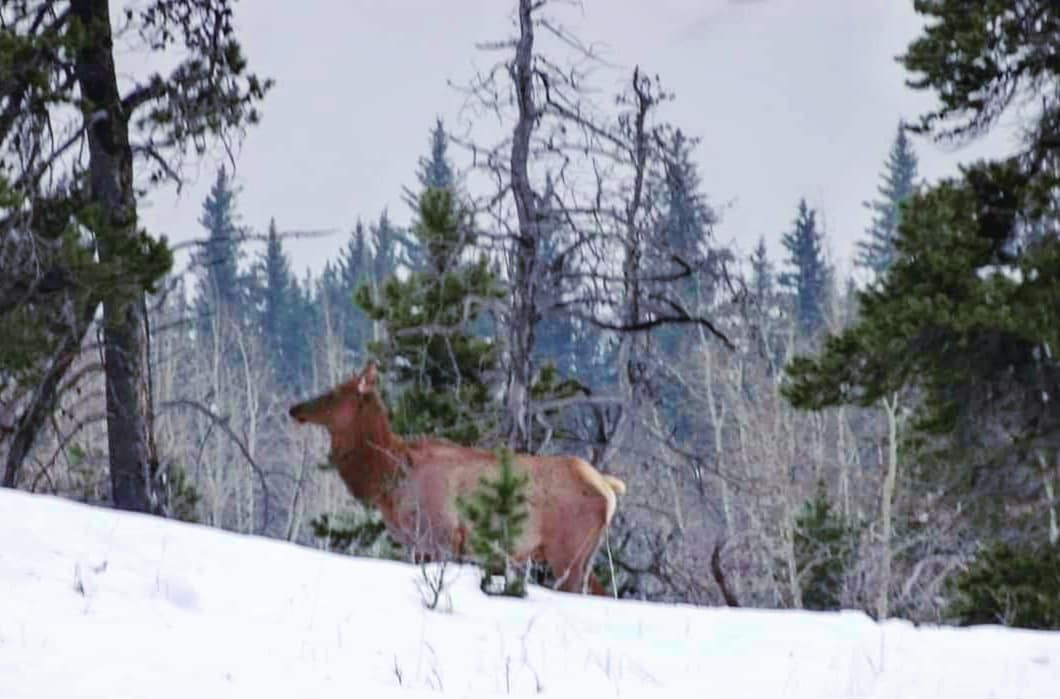
Starting from Chester Lake this trail passes the Elephant Rocks and the Three Lakes Valley so be Bear Aware as this is prime Grizzly Bear Habitat, so travelling in groups is recommended for this hike. I have seen lots of scat along parts of this trail but never witnessed a bear here firsthand. I do hike it solo, but I also carry bear bangers and spray as well as a Garmin GPSMAP 66i with inReach satellite technology for communications and rescue among other things. This trail is easier than doing each hike solo and makes for a great hike.
Distance: 12.11km (return)
Elevation Gain: 154m
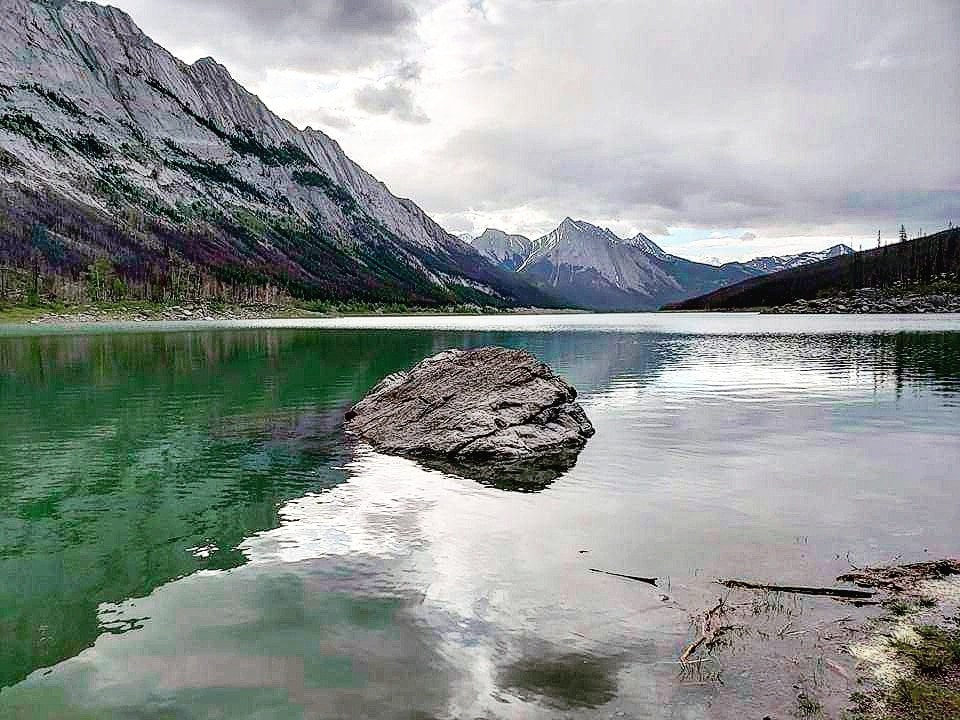
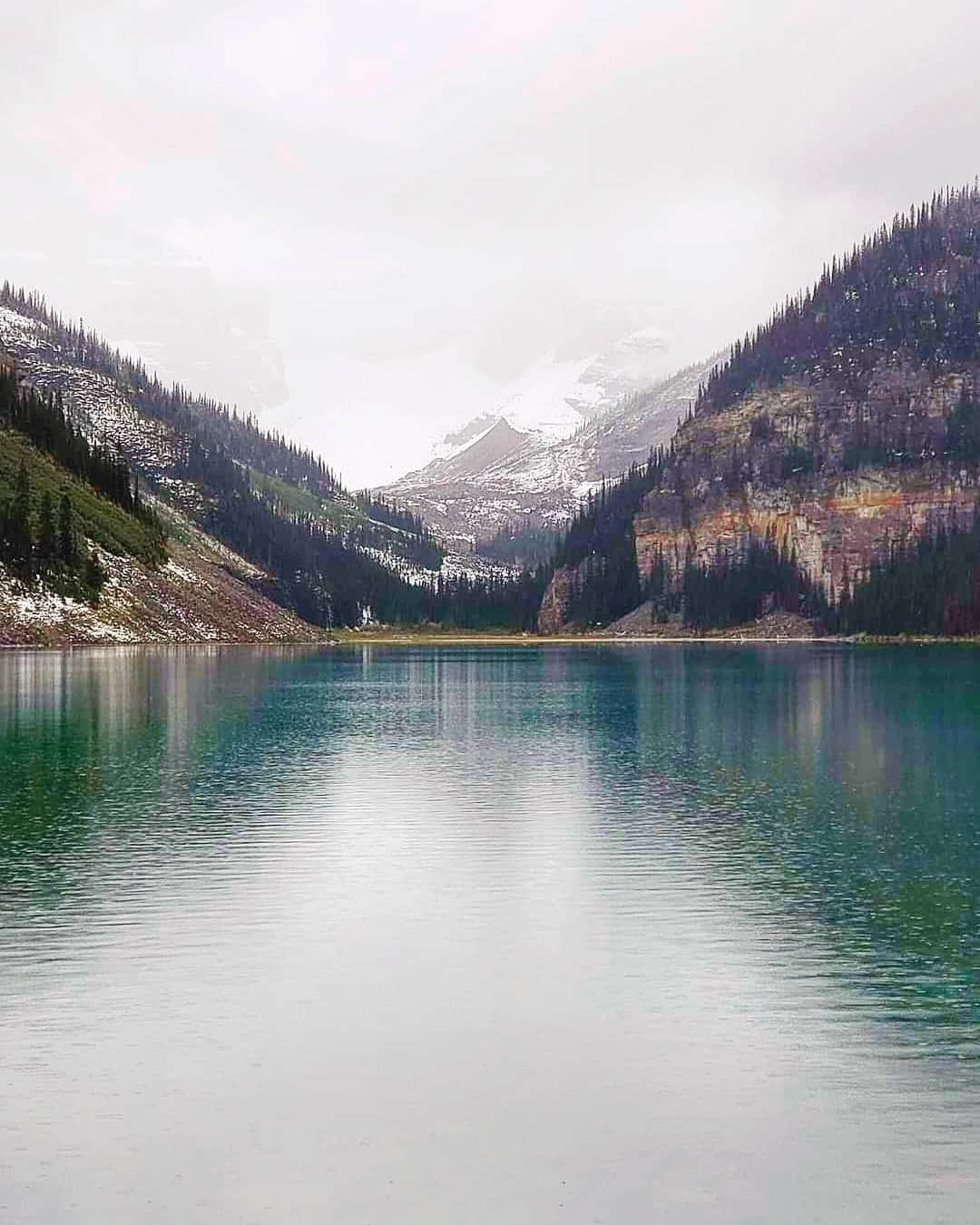
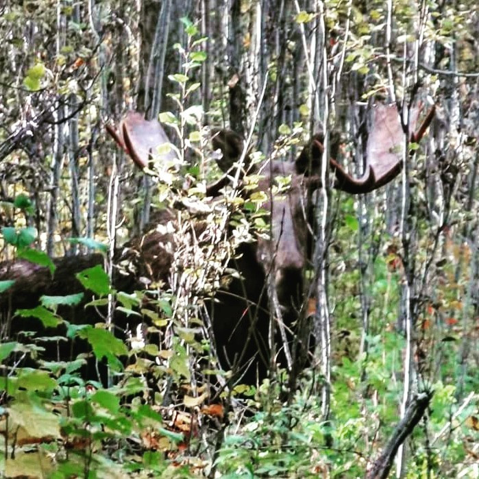
Accessed off Highway 742 at the Chester Lake Parking Lot. This is one of my all-time favorite hikes and areas. The biggest moose I ever saw appeared on this trail 15 feet from my gf and I. Chester Lake is a beautiful Jade colored lake and is a popular destination year-round. For the first 3.5km, you will encounter all of your elevation gain and then it is a roughly straight forward hike through a meadow towards the lake and if you choose to go further, I have included the profiles below as well as you can view them on the map below.
Distance: 9.76km (return)
Elevation Gain: 317m
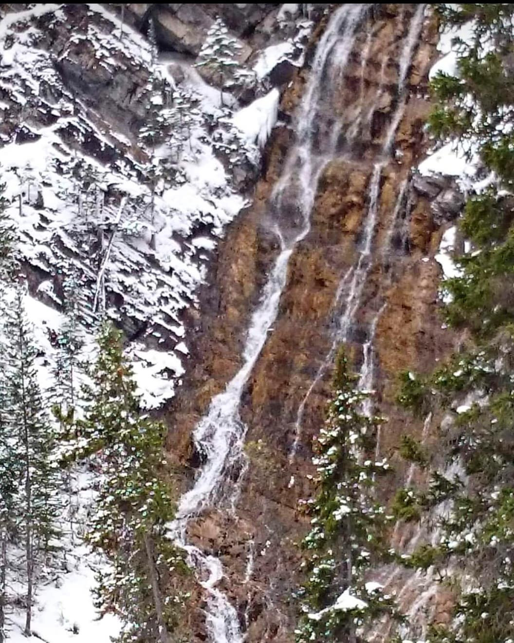
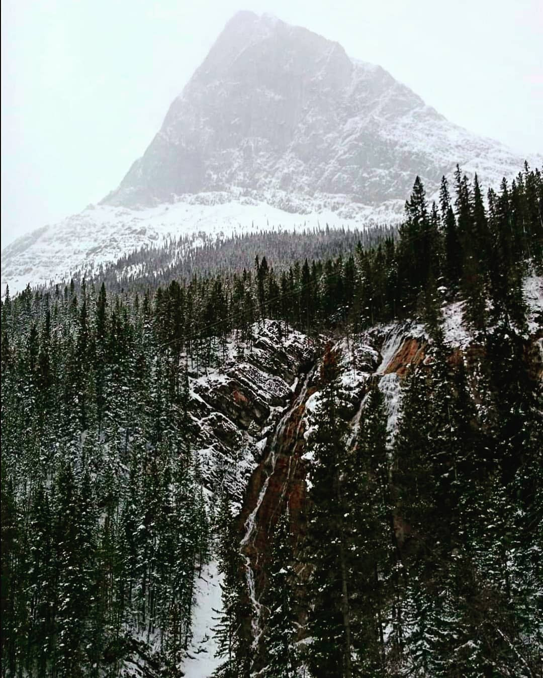
Accessed off Highway 742 at the Chester Lake Parking Lot, this hike brings you to a barren alpine limestone valley and your destination of the Headwall Lakes. From the parking lot hop onto the old logging road and follow it as it runs beside Hwy 742 for approximately 2.83km before it turns left and heads northeast. After a while the trail leaves the woods behind and arrive at a large scree slope, go left and just ahead is a steep headwall with loose rocks. Shortly after conquering this headwall you are greeted by Lower Headwall Lake. Follow the path around the right side of Lower Headwall Lake and climb up the following headwall to reach the Upper Headwall Lake and its accompanying waterfall. Return the same way but be careful on the headwalls, especially the one below Lower Headwall Lake.
Distance: 17.05km (return)
Elevation Gain: 521m
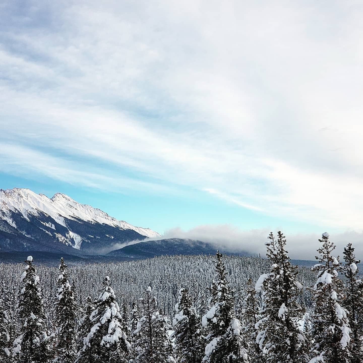
This snowshoe trip is only for people with avalanche safety training and gear. Accessed roughly 2km south of Mount Engladine Lodge. You can follow the trail I have on the map or you can head up from Commonwealth Lakes as the winter offers more options but also more hazards. If you have AST1 and you are attempting this, please bring an experienced friend as just having the course does not make you safe. Make sure you are comfortable is avalanche terrain, I personally would recommend AST2 for this but that is my opinion, and some may disagree. It really depends on your experience and the gear you have. I included this trail so people will know it is in avalanche terrain. Be safe out there.
Distance: 8.05km (return)
Elevation Gain: 697m
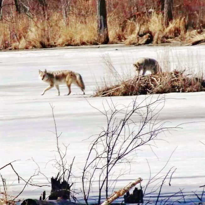
Accessed roughly 42km from the Canmore Nordic Centre on Highway 742. Turn right and park at the Burstall Pass Parking lot near Mud lake, this road is on the opposite side of Chester Lake turn off but very close to it. One of my favorite snowshoes trails along the Smith-Dorrien, as I have seen both weasels and deer along this loop, in the summer I have also passed Grizzly Bear tracks on multiple occasions so be sure to have your bear spray in an easy to reach location. This hike follows the shores of Mud Lake for a short distance prior to entering the forest as you make your way counterclockwise toward Hogarth Lakes 1, from here to Lake number 2 is a great spot to sere wildlife in the early morning hours. Continue back to where you started. A very easy hike with only 26m of elevation gain. Be careful where the trail crosses mud lake as the logs may not be there, this trail is marked by red snowshoe markers and very easy to follow.
Distance: 4.33km (return)
Elevation Gain: 26m
Accessed off Hwy 742 at Sawmill Day-Use Area this path leads hikers to James Walker Creek Lake and follows the color-coded Smith-Dorian skiing and mountain bike trails. This is a relatively easy hike and starts off by following the logging road to the left of the sign to a junction, then go left on red/yellow until you see a boulder, from here keep left on yellow trail, from here continue following the creek towards the lake.
Distance: 10.61km (return)
Elevation Gain: 298m
Accessed from either 285m south of the Black Prince Day-Use Area or park on the side of the road at your own risk. Whichever way you choose, both are relatively easy hikes, but both require Bear Spray. Mountain Bikes use The High Rockies Trail at a high rate of speed so be aware and move out of their way.
Distance: 909m (return)
Elevation Gain: 59m
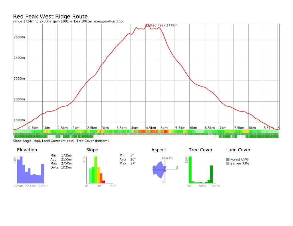
Accessed from the Spray Lakes Day-Use Area. Some scrambling is involved on this hike and please note that the rock glaciers are unstable and not to get to close if you do make it to them. This hike is for experienced hikers only and requires route finding abilities. I suggest referring to Gillean Daffern’s Kananaskis Country Trail Guide Volume 1 of the 4th edition on page 240.
Distance: 9.06km (return)
Elevation Gain: 1025m
Located within the Mount Shark Trail Systems. Use of the range requires supervision by a Canmore Nordic Centre certified Range Safety Officer. The range features 21 firing lanes with mechanical targets. The trail system itself is popular with skiers and is regularly groomed. For more info visit https://www.albertaparks.ca/parks/kananaskis/kananaskis-country/advisories-public-safety/trail-reports/mount-shark/biathlon-range-area/
Distance: 1.12km (return)
Elevation Gain: 25m
Accessed across from the entrance to the Mount Shark Road on Highway 742. This popular hiking and snowshoeing trail are an easy to follow path heading southeast before it loops northeast and follows switchbacks as it gains elevation. Just before the 3km mark the trail heads southeast again paralleling Rummel Creek before heading east along Rummel Creek to toward Rummel Lake.
Distance: 9.29km (return)
Elevation Gain: 393m
Accessed from the Sawmill Day-Use Area off of Highway 742, this is a relatively easy hike through the forest that goes opposite the flow of James Walker Creek as it goes northwest before looping back and heading southeast towards the parking lot. This hike is popular in the winter with snowshoers and features great opportunities to see wildlife in the spring and fall. Make sure to carry Bear Spray.
Distance: 5.06km (return)
Elevation Gain: 149m
1.8km in form Hwy 742 on the Mount Shark Road lies a parking lot on the right-hand side which Provides parking as well as access to the Shark Lake trailhead. This hike starts out by crossing Monica Brook as it makes its way counterclockwise around Tent Ridge towards Shark Lake with Mount Shark (2786m) behind the lake to the south. A relatively easy hike that is very popular with snowshoers in the wintertime, especially after a fresh snowfall.
Distance: 6.62km (return)
Elevation Gain: 67m
1.8km in form Hwy 742 on the Mount Shark Road lies a parking lot on the right-hand side which provides parking as well as access to the Tent Ridge Track. After this trail begins you will soon cross Monica Brook which is breathtaking as soon after you will see Tent Ridge in its entirety towering over you. As you leave the forest behind you start a steep ascent up some scree. Above this area is a rock band which shouldn’t be attempted in wet or snowy weather as it offers some exposure. As you continue up from here the views behind you of the Spray Lakes Reservoir are definitely photo worthy. Once at the top of the ridge you will find a weather station. From here continue onto Tent Ridge (2545m) which offers a great view of The Fist (2630m) to the south. Continue East to Peak 154311 and follow the trail back to the parking lot. This hike is possibly one of the nicest ridge hikes in all of Kananaskis as it offers views of the Spray Lakes Reservoir, Buller Pass, Mount Smuts and Mount Shark among others. So many great areas to see from here, especially from around Peak 154311. Bare in mind, that sections of this hike are considered a class 3 scramble as many point along the ridge are exposed. Check the weather and DO NOT ATTEMPT THIS TRAIL IN BAD WEATHER, ICLUDING RAIN OR SNOW, OR IF IT CALLS FOR THUNDER.
Distance: 9.94km (return)
Elevation Gain: 627m
Accessed by the Mount Shark Road off Hwy 742, take the road on your left roughly 1km from where you turned in. This hike shares the trail with the Birdwood Lakes via Birdwood Pass Trail until its cuts off near Tryst Creek and goes up the creek southwest for almost 1.4km to Tryst Lake circled by The Fist (2630m), Tent Ridge (2545m) and Peak 154311. This hike is quite popular during larch season.
Distance: 6.87km (return)
Elevation Gain: 303m
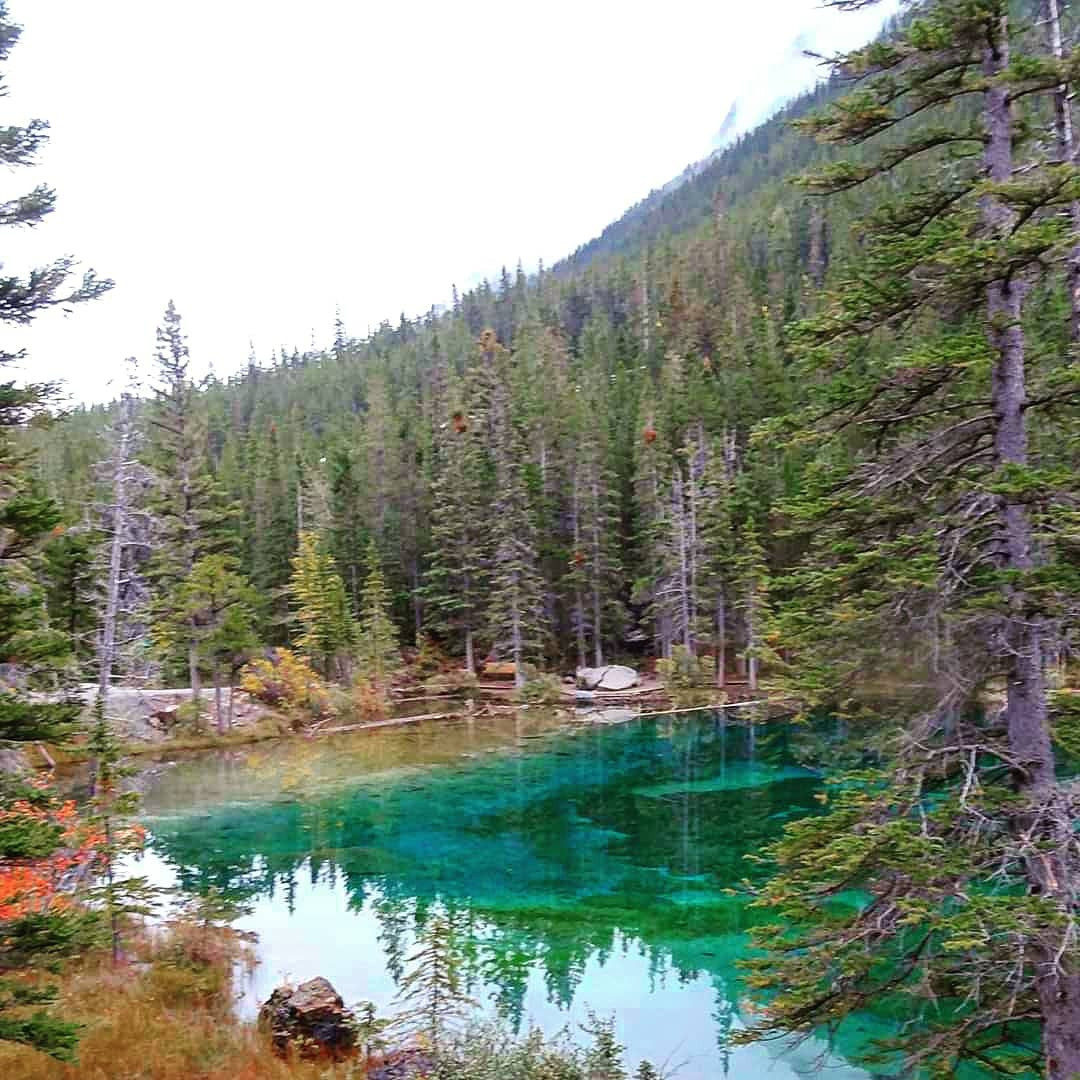
This is a recreational trail with access to Watridge Lake and Banff National Park and Mt Assiniboine Provincial Parks. The trail is accessed off of Hwy 742 at the Mount Shark Road, follow it for just over 5km to the parking lot. Watridge Lake is 3.2km from the trailhead. To get down to the lake, you need to descend a steep connector trail from the junction to the lake. A short 1.59km return trip to here will take you to Karst Spring with only 95m of elevation as you can see in its profile below.
Distance: 7.64km (return)
Elevation Gain: 66m
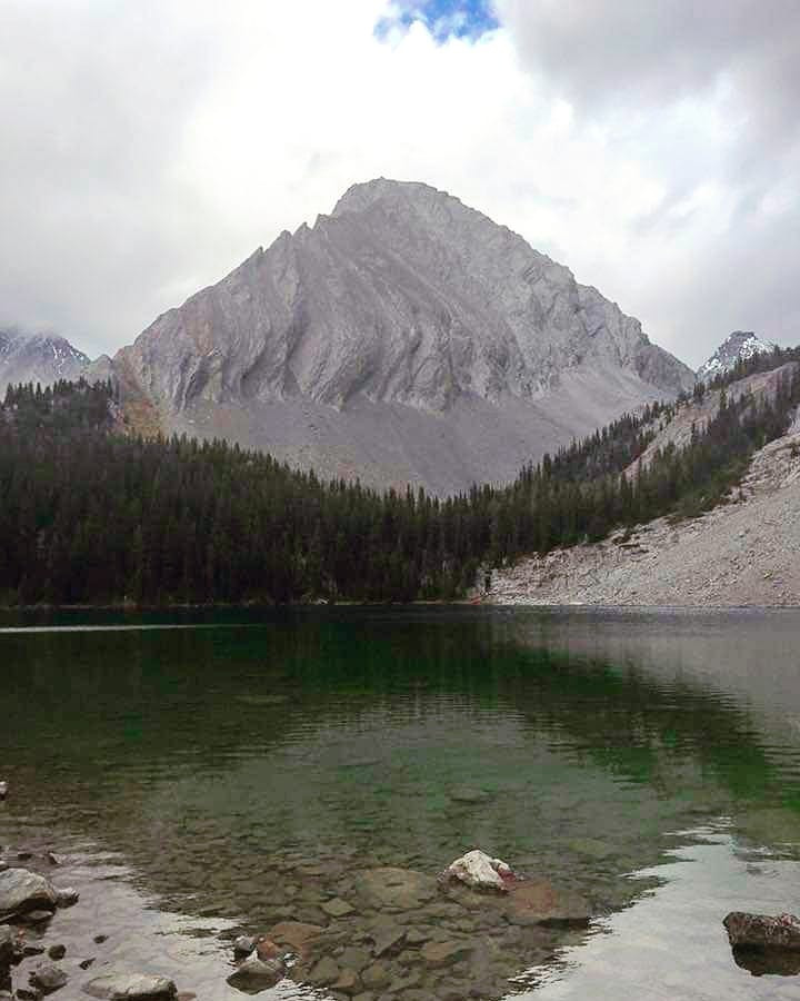
Turn south off Hwy 742 into the Black Prince Day-Use Area. Start and follow the signed path from the parking lot, after roughly 2km of hiking you will arrive at Warspite Lake which quickly dries up in mid to late August making it more of a large puddle. Head right around the lake until you pick up a clear path on the other side. From here make your way through the valley to a waterfall on the left-hand side. THIS VALLEY IS A POPULAR AREA FOR GRIZZLY BEARS, BE BEAR AWARE. Some route finding is needed when crossing the boulder field. Past here, but still following Warspite Creek the trail climbs steeply as you make your way right beside the waterfall before emerging from the forest into Black Prince Cirque. Keep following the trail up the valley till you see a side trail on your right which leads you to Black Prince Lakes. Instead of going right you can continue to Mount Warspite (2850m).
| Trail | Distance | Elevation Gain | Terrain |
| Birdwood Lakes Trail | 15.59km (return) | 516m | A relatively easy hike to Commonwealth Creek |
| Black Prince Lakes Trail | 13.03km (return) | 1068m | Some route finding is needed when crossing the boulder field |
| Burstall Pass Trail | 16.47km (return) | 458m | After the meadow is the actual climb to the pass |
| Chester Lake to Rummel Lake | 12.11km (return) | 154m | Travelling in groups is recommended for this hike |
| Chester Lake Trail | 9.76km (return) | 317m | Steady elevation gain and then it is roughly straight forward |
| Commonwealth Ridge Route | 8.05km (return) | 697m | Make sure you are comfortable with avalanche terrain |
| Headwall Lake Trail | 17.05km (return) | 521m | Old logging road |
| Hogarth Lakes Loop | 4.33km (return) | 26m | A popular snowshoeing trails along the Smith-Dorian |
| James Walker Creek Trail | 10.61km (return) | 298m | Relatively easy hike |
| Blackshale Suspension Bridge Trail | 909m (return) | 59m | Relatively easy hikes |
| Red Peak West Ridge Route | 9.06km (return) | 1025m | For experienced hikers only and requires route finding abilities |
| Ruedi Setz Memorial Biathlon Range | 1.12km (return) | 25m | Regularly groomed trail |
| Rummel Lake Trail | 9.29km (return) | 393m | Popular hiking and snowshoeing trail |
| Sawmill Loop Trail | 5.06km (return) | 149m | Relatively easy hike |
| Shark (Maruska) Lake Trail | 6.62km (return) | 67m | A relatively easy hike |
| Tent Ridge Horseshoe Track | 9.94km (return) | 627m | Possibly one of the nicest ridge hikes in all of Kananaskis |
| Tryst Lake Trail | 6.87km (return) | 303m | This hike is quite popular during larch season |
| Watridge Lake Trail | 7.64km (return) | 66m | Forested trail |
The maps, GPS data and elevations on profiles are provided for reference purposes only and to help you plan you next outdoor adventure. Maps can be used for navigation and you can open them up in Caltopo for a better viewing experience. Backcountry Views makes no guarantees, representations or warranties respecting this data, either expressed or implied. Backcountry Views assumes no responsibility for damages or other liabilities due to the accuracy, availability, use or misuse of the information provided. I use the information provided within this website to help plan my hikes from elevations to different types of terrain. This info is free to use, as I want to help everyone have a safe enjoyable time while hiking, thank you very much. I hope you find this info to be a benefit to you. For updates follow me at backcountryviewsofficial on Instagram.


